Naracoorte North Parklands Consultation
Consultation has concluded
*Consultation is now closed, but you can view the detailed survey report in the documents library on this page. Council's Media Release on the consultation can be viewed in Latest News on Council's website.
PLEASE NOTE - Survey responses entered under the user name 'collinsj' were hard-copy survey submissions which were manually entered into the survey platform by Council administration.
Council is seeking feedback from the community on their expectations and preferences for the future land use of the Naracoorte North Parklands.
Over time there has been general discussion within Council about the future of this area; largely driven by any effect of harvesting pine plantations would have on the appearance of the northern entrance to Naracoorte, future land use options and opportunities in the general North Parklands area.
An unsolicited proposal from a private developer was presented to Council initially, and consequently presented to the Department for Environment and Water (DEW), seeking DEW’s thoughts on a possible redevelopment of the North Parkland’s complex of land parcels. DEW has had initial and very general conversations with the developer however further meetings will most likely occur to then provide a more detailed overview of the proposal.
To date, Council has:
- Received an unsolicited land development proposal;
- Received correspondence from the Department for Environment and Water (DEW) regarding future use of the North Parklands area seeking Council’s intentions;
- Council administration have met DEW and Crown Lands representatives to better understand what the process of and sale of land would entail;
- Made contact with the Chair of the South-East Black Cockatoo Recovery Team and sought information on the potential impact of development in North Parklands, including Crown Land zoned forestry on the South-East Black Cockatoos.
Council’s position on the future land use of the North Parklands is neutral, and to that extent, Council is now seeking the views of the community on their expectations and preferences. Council fully understands and acknowledges that there will most likely be divergent views on the future land uses of the North Parklands.
The main objective of this engagement is to gain early input from the community and their expectations for the North Parklands, providing Council with a better understanding of the community’s wishes.
The process also provides an opportunity to:
- Raise awareness of assets in the North Parklands area
- Clarification of the various parcels of land, use and area
- Provide an opportunity for issues and ideas to be raised
- Gain important local information about what is valued about the area and if there is any appetite for development
- Support transparency on Council decisions and activities
Council considers that any discussion regarding the North Parklands to be of significant interest to the community and feedback from the community is seen as important. This will help shape any future discussions and decision making of Council, or support any further information required by State Government agencies. All of the land parcels that make up the North Parklands are owned by the State Government, and are under the care and control of the Council.
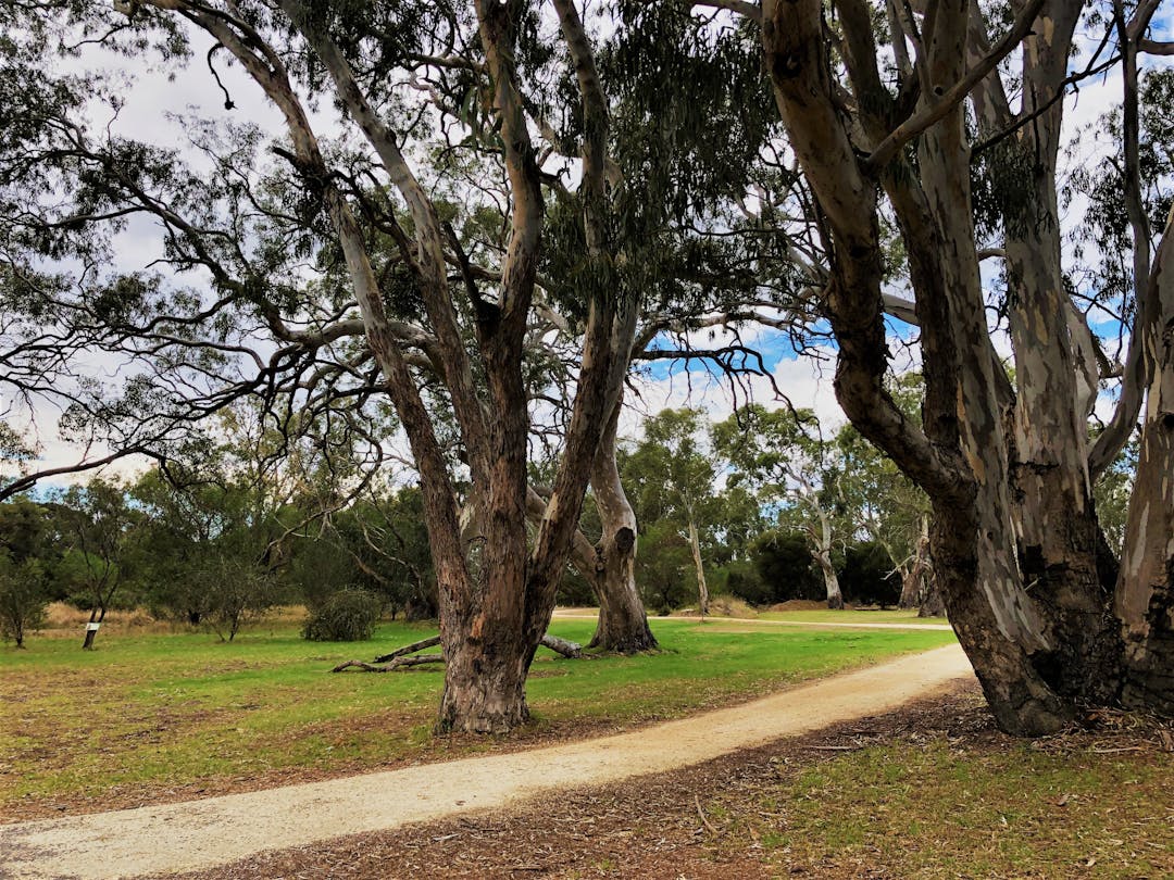
Located north of the Naracoorte township, the Naracoorte North Parklands is a large land area of close to 197 hectares, containing multiple parcels of land with a variety of land uses. Maps of the North Parklands showing the variety of land uses can be viewed in the documents library on this page.
Most people would associate the North Parklands as being the Naracoorte Nature Park. However, the Nature Park is located within the North Parklands area and is a large area of beautiful grassy pine plantations, stringybark and other native trees. The Nature Park is home to a large number of native bird and animal species. The Nature Park is included in the Naracoorte Creek Walk loop and is used by schools for cross country events and other outdoor activities and the Naracoorte Lake parkrun meets there weekly.
The North Parklands contains other dedicated land use areas including the Naracoorte Swimming Lake, Naracoorte Cemetery, Naracoorte Golf Course, forestry land and Naracoorte & District Sports Centre.
Consultation will run from Monday 2 May – Friday 10 June and will include drop-in sessions at the Naracoorte Library for community members to engage with Council staff, face-to-face information sessions with key stakeholders, and online and hard-copy feedback forms.
To provide your feedback online, complete the survey on this page. Hard-copy feedback forms are also available from the Council offices in DeGaris Place, the Naracoorte Library and Naracoorte Visitor Information Centre.
